Please use a tablet or desktop computer to use this activity.
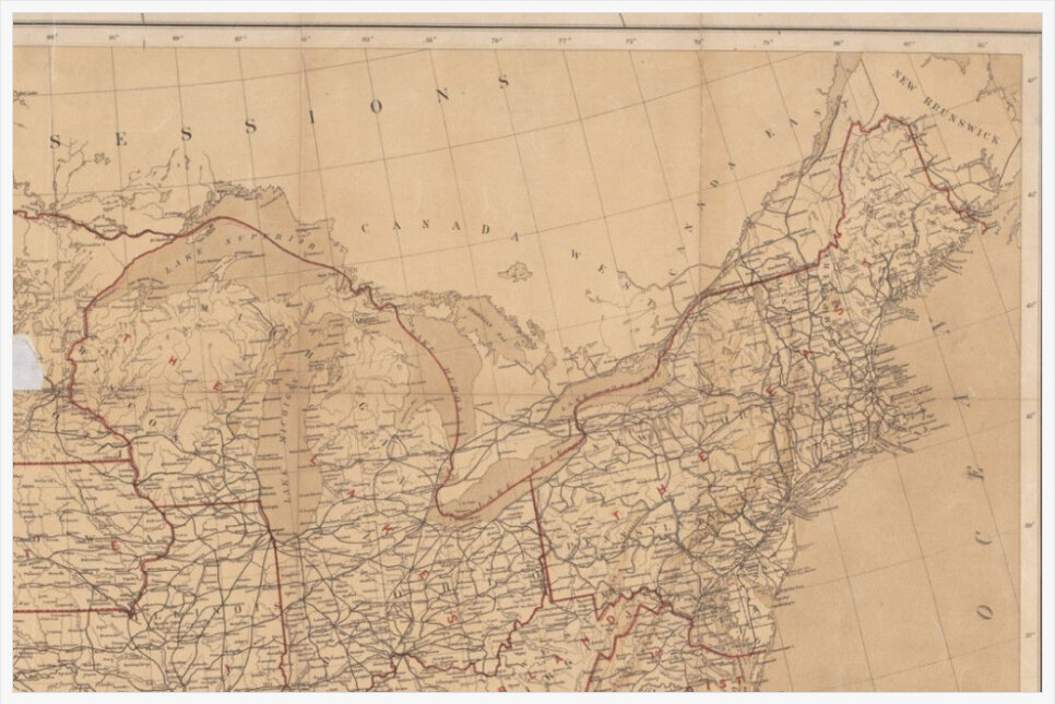
This activity can supplement a lesson or unit on the American Civil War, specifically when the topic of the Union blockade is taught. In 1861, the U.S.S. Jamestown was recommissioned for the blockade and can be considered a historical exemplar for how geography mattered during the war.
Students can do the following with this activity: 1. Answer basic and more complex questions based on the map. 2. Create a timeline to work on chronological thinking. 3. Create a map of their own that traces the location of the U.S.S. Jamestown across time.
Overall, students should be analyzing the interactive map provided in this activity to understand how time and space can influence defining events like the American Civil War.
This lesson should be taught around the following questions:
Essential Question: How does time and space shape our understanding of the American Civil War?
Sub-Essential Question: How were the geographical concepts of location and topography critical elements that influenced the Union blockade and the U.S.S. Jamestown's success at destroying and capturing ships from 1861-1862?
Step 1: Open the lesson by framing it around how geography was a critical element in determining the outcome of the Civil War. Provide information about how the Union Blockade was imperative in the Union's success in the war. Then, explain how the U.S.S. Jamestown was a part of the blockade and was successful in navigating the Atlantic seaboard and destroying or capturing Confederate ships.
Step 2: Have students access this lesson online and take them through how to drag and place the markers on the red dot locations. Explain that students will work in pairs or individually and read the summary of the U.S.S. Jamestown's adventures (this information is provided but can also be printed out).
Step 3: Students will read the summary and drag the markers to the red dot locations on the interactive map. It is important to note that students can click on the markers to see specific information about the location they should be dragged to. Also, when you click on the markers it shows specific information on the left and a document on the right. The document is not supposed to be read. Students should only be focused on the information on the left. Students can use a textbook or the Internet to determine the location of the red dots on the interactive map.
Step 4: Once students have accurately completed the interactive map, you can either bring the group together and guide them through creating a timeline of these historical events or have them work in pairs or individually to create the timeline as long as they have been previously taught this skill.
Step 5: To close the class, bring the students together for an informal discussion around the interactive map and timeline. Center the discussion around basic and more advanced questions about geography (i.e., What ocean was the Union Blockade located on?; How many ships did the Jamestown destroy or capture based on the interactive map/timeline?; Why do you think most of these ships were captured off the coast of Confederate states?). Once you have concluded the discussion, you can have students finish up with an electronic exit-ticket that they can access when they click on the "When You're Done" button at the bottom of the interactive map screen.
To the extent possible under law, Curry School of Education and Human Development has waived all copyright and related or neighboring rights to "The Journey of the U.S.S. Jamestown: Mapping History Across Time and Space".
z-library z-lib project Black magic love spell that works from powerful love spell caster casting voodoo.
csgo betting sites
Explore top csgo betting sites for a reliable and thrilling betting experience.
Navigate the crypto landscape with ease using Ledger Live's interface updates, prioritizing user satisfaction. Heyecan arayanların adresi Pin Up casino! Büyük ödüller ve sınırsız eğlence sizi bekliyor.