Aerial Photograph of Galveston, Texas
3/4/1952
Add to Favorites:
Add all page(s) of this document to activity:
Additional details from our exhibits and publications
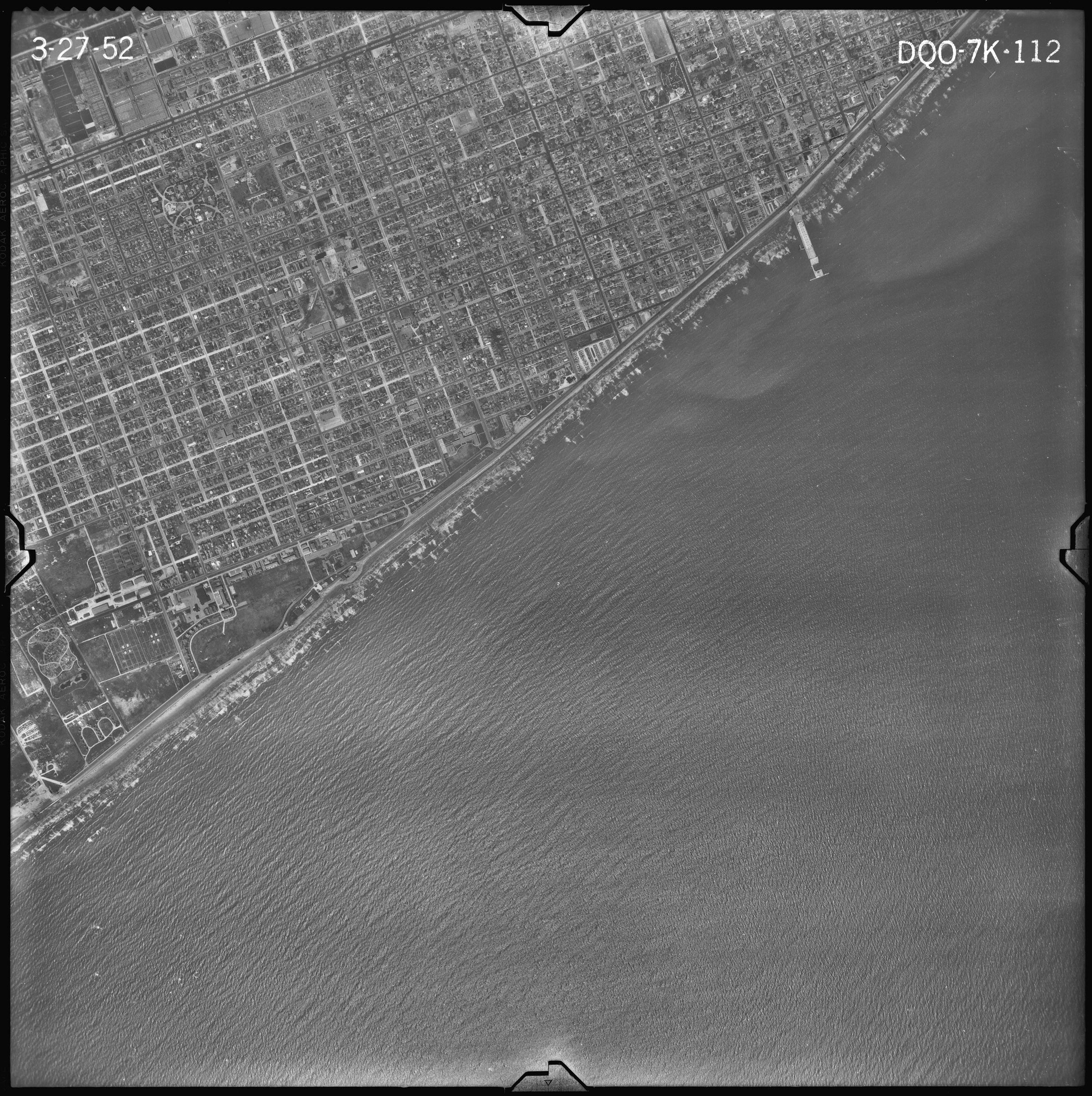
This aerial photograph, taken on March 27, 1952, shows the coastline of Galveston, Texas. The city's location on the Gulf of Mexico exposes it to tropical storms, the most deadly of which occurred in 1900 and cost more than 6,000 lives. The seawall visible in this photograph is one of the safeguards instituted after the 1900 disaster.
This primary source comes from the Records of the Farm Service Agency.
National Archives Identifier: 595104
Full Citation: Aerial Photograph of Galveston, Texas; 3/4/1952; Records of the Farm Service Agency. [Online Version, https://www.docsteach.org/documents/document/aerial-photograph-of-galveston-texas, April 24, 2024]Rights: Public Domain, Free of Known Copyright Restrictions. Learn more on our privacy and legal page.
