A New Map of Great Britain from the Moll Atlas
1709 - 1720
Add to Favorites:
Add all page(s) of this document to activity:
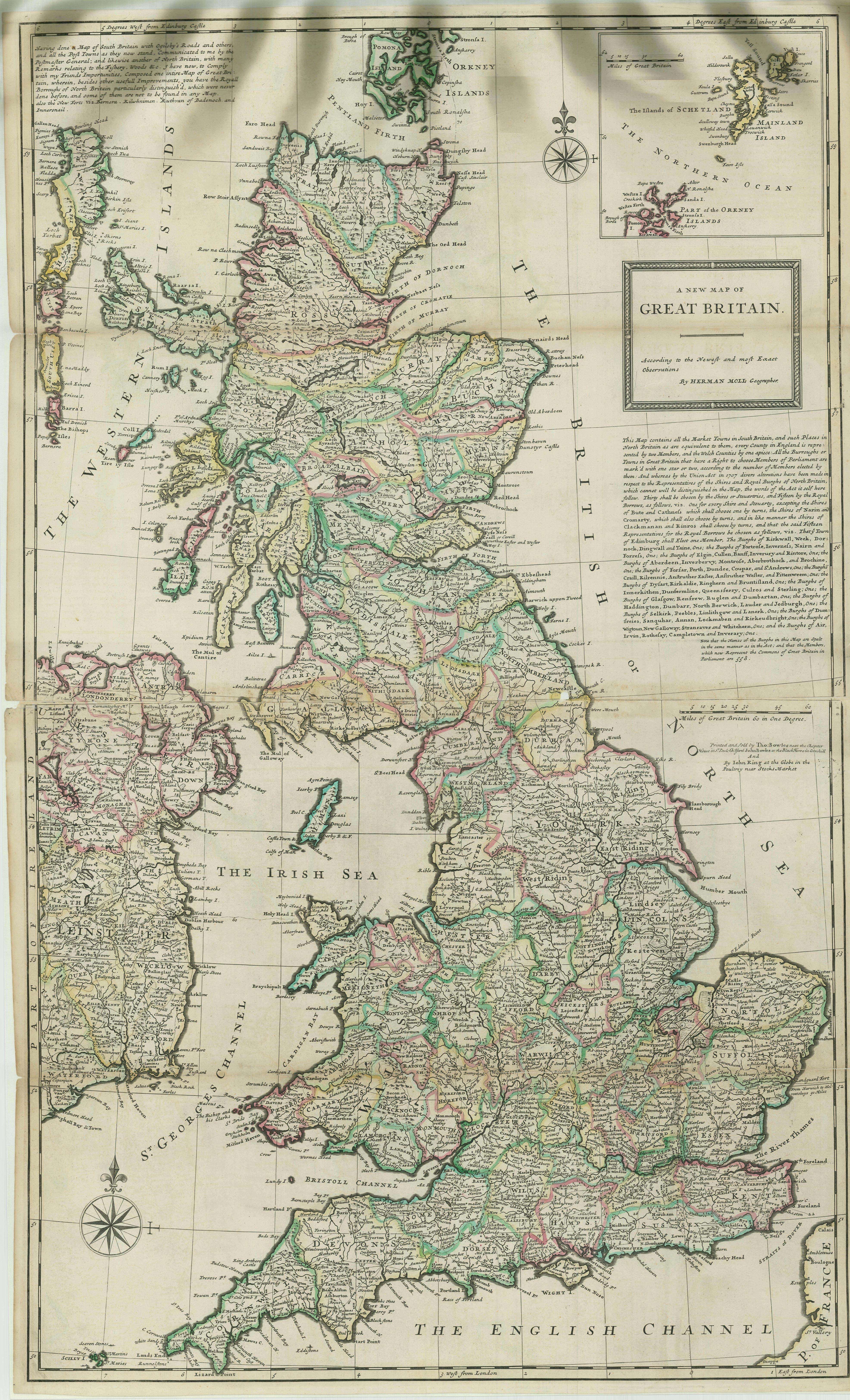
Herman Moll began work on “The World Described or, A New and Correct Sett of Maps” in 1707 and continued to work until it was completed in 1717. Originally published as a folio edition, this series took into account all of the known parts of the globe.
This map, Plate XVI, is described in the Atlas's Index as:
This map, Plate XVI, is described in the Atlas's Index as:
GREAT-BRITAIN, according to the newest and most exat Observations.
This primary source comes from the Records of Boundary and Claims Commissions and Arbitrations, 1716 - 1994.
National Archives Identifier: 76034896
Full Citation: A New Map of Great Britain from Moll Atlas; 1709 - 1720; Maps and Related Records Pertaining to the Northeastern Boundary of the United States, ca. 1908 - ca. 1934; Records of Boundary and Claims Commissions and Arbitrations, 1716 - 1994, Record Group 76; National Archives at College Park, College Park, MD. [Online Version, https://www.docsteach.org/documents/document/great-britain-moll-atlas, April 26, 2024]Rights: Public Domain, Free of Known Copyright Restrictions. Learn more on our privacy and legal page.