State of Oklahoma
1914
Add to Favorites:
Add all page(s) of this document to activity:
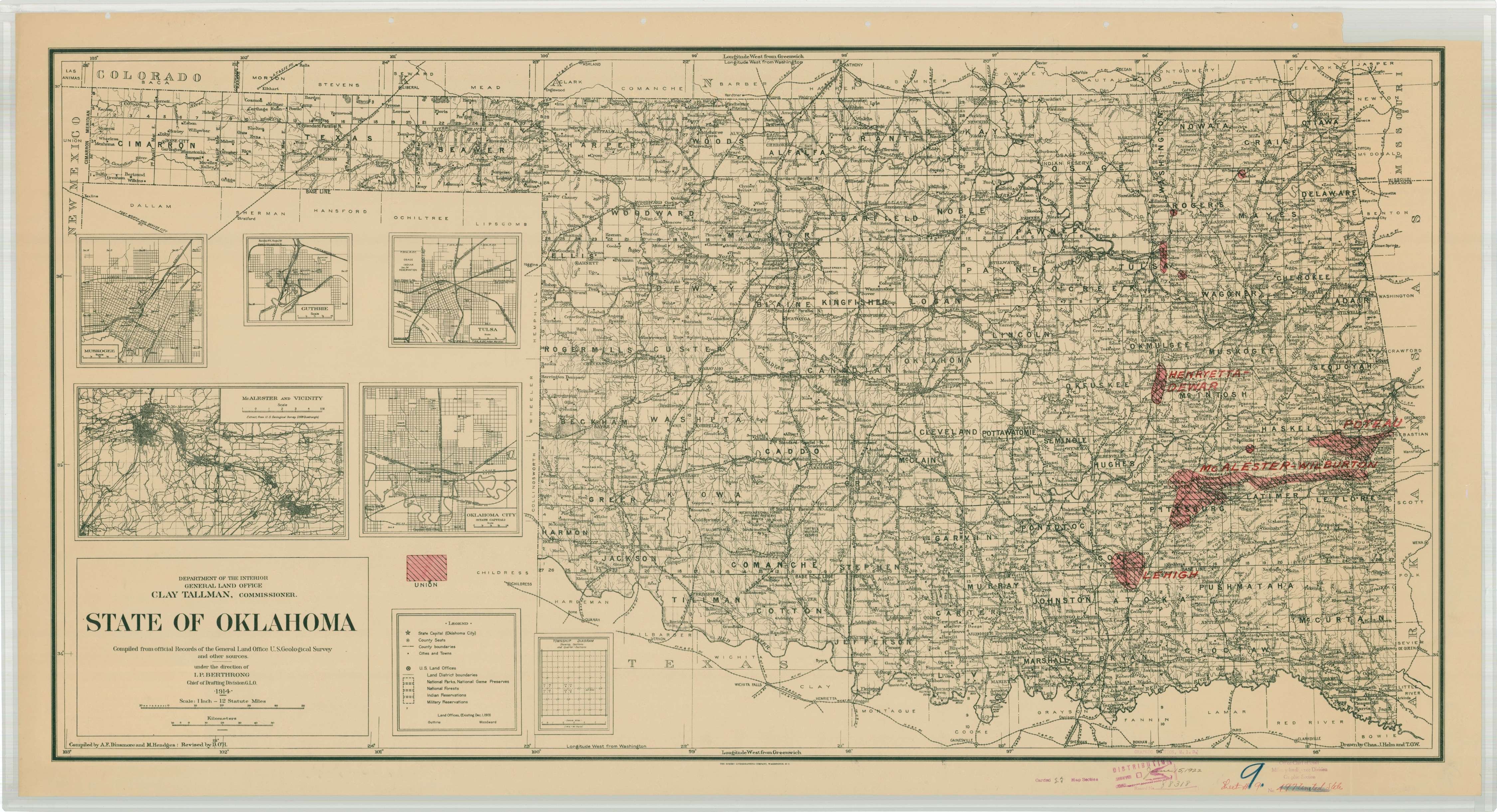
This map is annotated to show union areas (red).
This primary source comes from the Records of the Office of the Chief of Engineers.
National Archives Identifier: 148720815
Full Citation: State of Oklahoma; 1914; United States; War Department Map Collection, 1939 - 1942; Records of the Office of the Chief of Engineers, Record Group 77; National Archives at College Park, College Park, MD. [Online Version, https://www.docsteach.org/documents/document/oklahoma-map-1914-unions, May 16, 2024]Rights: Public Domain, Free of Known Copyright Restrictions. Learn more on our privacy and legal page.