Satellite Image of San Francisco, California
10/29/1985
Add to Favorites:
Add all page(s) of this document to activity:
Additional details from our exhibits and publications
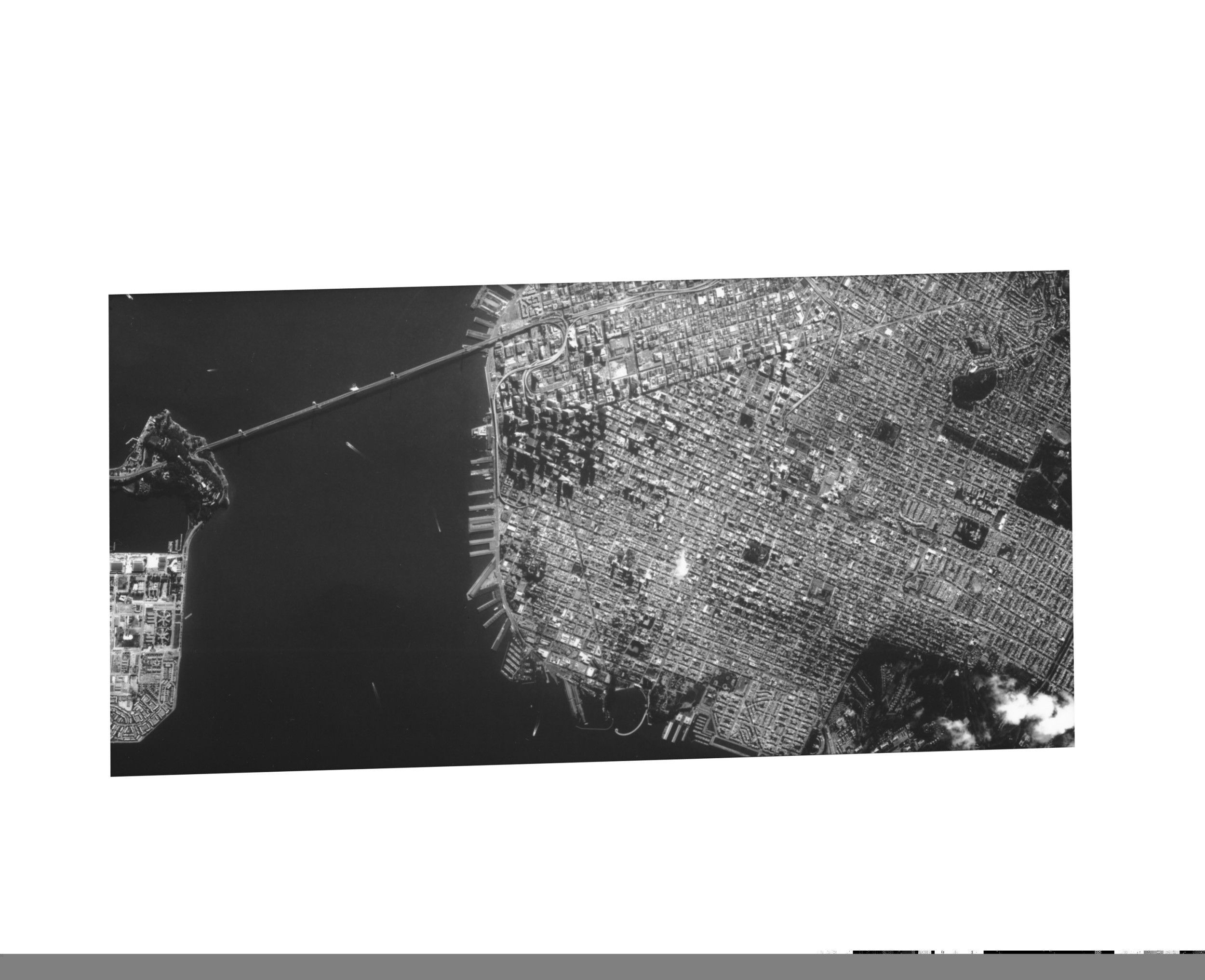
This satellite photograph, taken on October 29, 1985, shows the waterfront of San Francisco, California. A portion of the San Francisco-Oakland Bay Bridge is shown on the left, up to its approximate midpoint at Yerba Buena Island.
This primary source comes from the Records of the Central Intelligence Agency.
National Archives Identifier: 595267
Full Citation: Satellite Image of San Francisco, California; 10/29/1985; Records of the Central Intelligence Agency, Record Group 263. [Online Version, https://www.docsteach.org/documents/document/satellite-image-of-san-francisco-california, May 12, 2024]Rights: Public Domain, Free of Known Copyright Restrictions. Learn more on our privacy and legal page.