New Sectional Map of the State of Missouri
1876
Add to Favorites:
Add all page(s) of this document to activity:
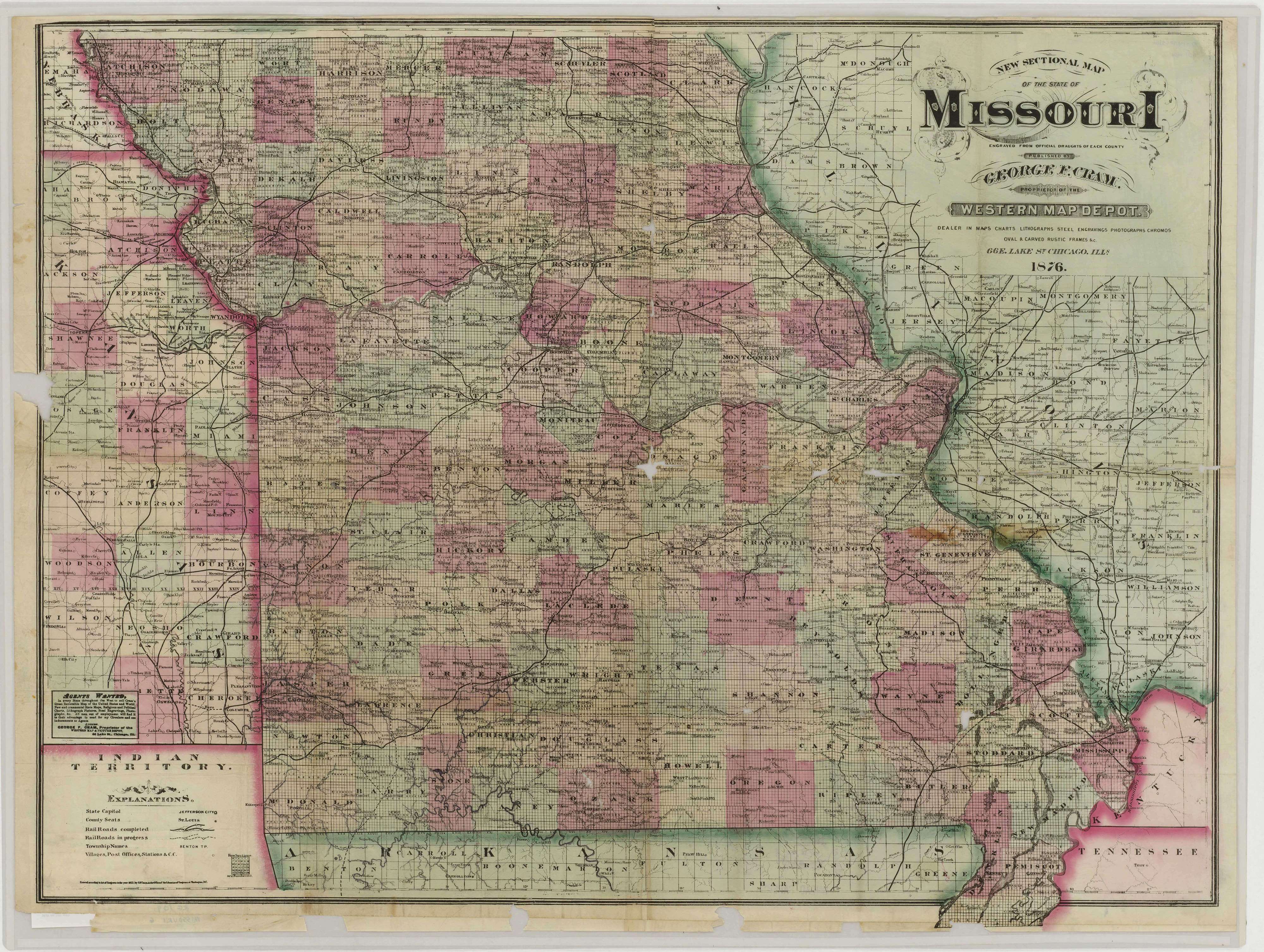
This map shows county boundaries; towns; railroads; rivers; and township, range, and section lines. It was published by George F. Cram of Chicago. "Snead Papers" is written on the back.
It is one of several maps created by the the Confederate States of America that were acquired by the U.S. War Department by capture or surrender during the Civil War, or by donation or purchase after the War.
It is one of several maps created by the the Confederate States of America that were acquired by the U.S. War Department by capture or surrender during the Civil War, or by donation or purchase after the War.
This primary source comes from the War Department Collection of Confederate Records.
National Archives Identifier: 70652987
Full Citation: Map MO-6; New Sectional Map of the State of Missouri; 1876; Missouri; Confederate Maps,1861-1876; War Department Collection of Confederate Records, Record Group 109; National Archives at College Park, College Park, MD. [Online Version, https://www.docsteach.org/documents/document/sectional-map-missouri, May 11, 2024]Rights: Public Domain, Free of Known Copyright Restrictions. Learn more on our privacy and legal page.