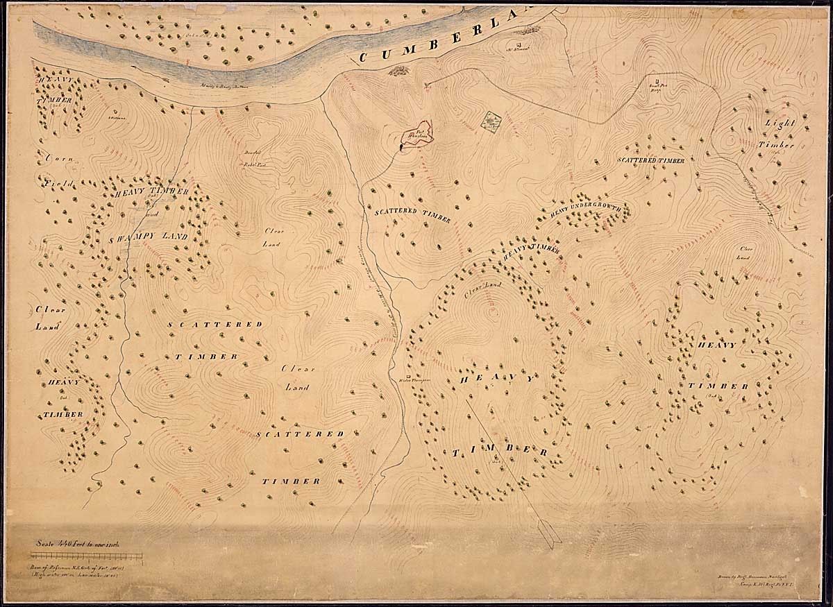
Topographical Map of Fort Donelson, Tenn., and Vicinity. Prepared under the direction of Col. Wm. E. Merrill, 1st U.S.V.V. Eng'rs., Chief Engineer, Dept. of the Cumberland, By Maj. James R. Willett, 1
1/1865
Add to Favorites:
Add all page(s) of this document to activity:


Add only page 1 to activity:
Add only page 2 to activity:
This primary source comes from the Records of the Office of the Chief of Engineers.
National Archives Identifier: 305713
Full Citation: Topographical Map of Fort Donelson, Tenn., and Vicinity. Prepared under the direction of Col. Wm. E. Merrill, 1st U.S.V.V. Eng'rs., Chief Engineer, Dept. of the Cumberland, By Maj. James R. Willett, 1; 1/1865; Records of the Office of the Chief of Engineers, Record Group 77. [Online Version, https://www.docsteach.org/documents/document/topographical-map-of-fort-donelson-tenn-and-vicinity-prepared-under-the-direction-of-col-wm-e-merrill-1st-usvv-engrs-chief-engineer-dept-of-the-cumberland-by-maj-james-r-willett-1st-usvv-engrs-chief-i, May 3, 2024]Rights: Public Domain, Free of Known Copyright Restrictions. Learn more on our privacy and legal page.