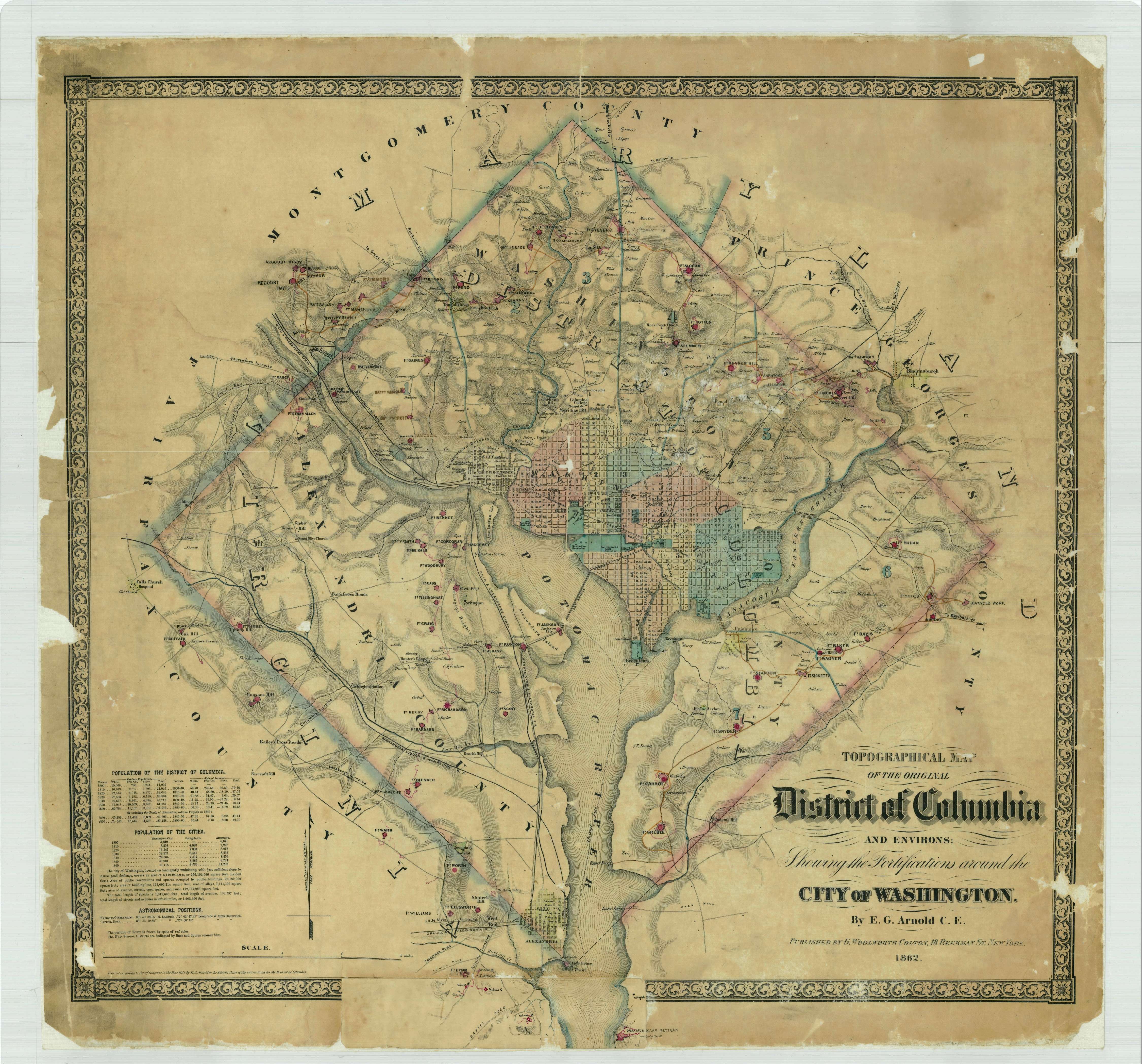
Topographical Map of the Original District of Columbia and Environs Showing the Fortifications around the City of Washington
1862
Add to Favorites:
Add all page(s) of this document to activity:
This primary source comes from the Records of the Office of the Chief of Engineers.
National Archives Identifier: 31491213
Full Citation: Topographical Map of the Original District of Columbia and Environs Showing the Fortifications around the City of Washington; 1862; Maryland, the District of Columbia, and the Potomac River; Civil Works Map File, 1818 - 1947; Records of the Office of the Chief of Engineers, Record Group 77; National Archives at College Park, College Park, MD. [Online Version, https://www.docsteach.org/documents/document/topographical-map-of-the-original-district-of-columbia-and-environs-showing-the-fortifications-around-the-city-of-washington, April 25, 2024]Rights: Public Domain, Free of Known Copyright Restrictions. Learn more on our privacy and legal page.
