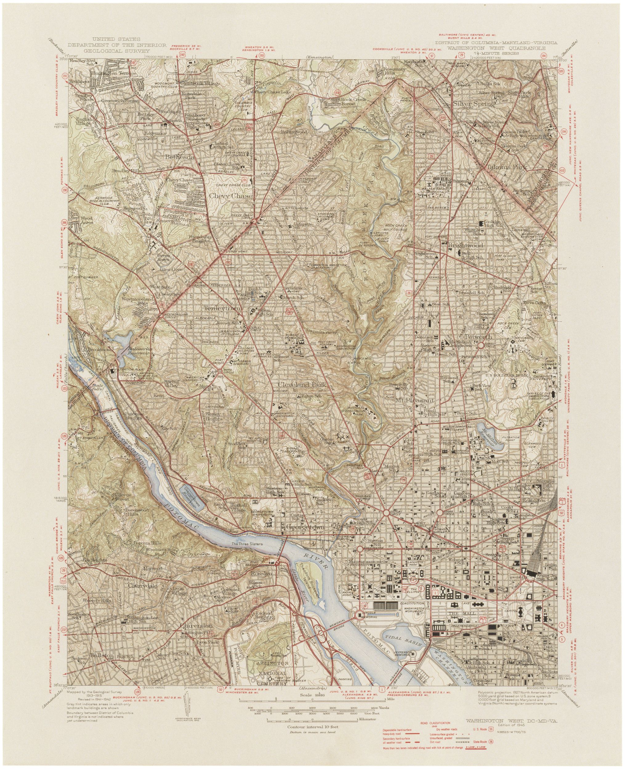
Washington, DC West
1945
Add to Favorites:
Add all page(s) of this document to activity:

Additional details from our exhibits and publications
This topographic map, published in 1945 by the Department of Interior’s Geological Survey, shows the western quadrant of the city of Washington, D.C. The two long buildings near the Potomac River and adjacent to the Lincoln Memorial were built in 1918 near the end of World War I and were occupied by Navy and other armed forces personnel until President Richard M. Nixon ordered them removed in 1970.
This primary source comes from the Records of the U.S. Geological Survey.
National Archives Identifier: 594894
Full Citation: Washington, DC West; 1945; Records of the U.S. Geological Survey, Record Group 57. [Online Version, https://www.docsteach.org/documents/document/washington-dc-west, April 25, 2024]Rights: Public Domain, Free of Known Copyright Restrictions. Learn more on our privacy and legal page.
