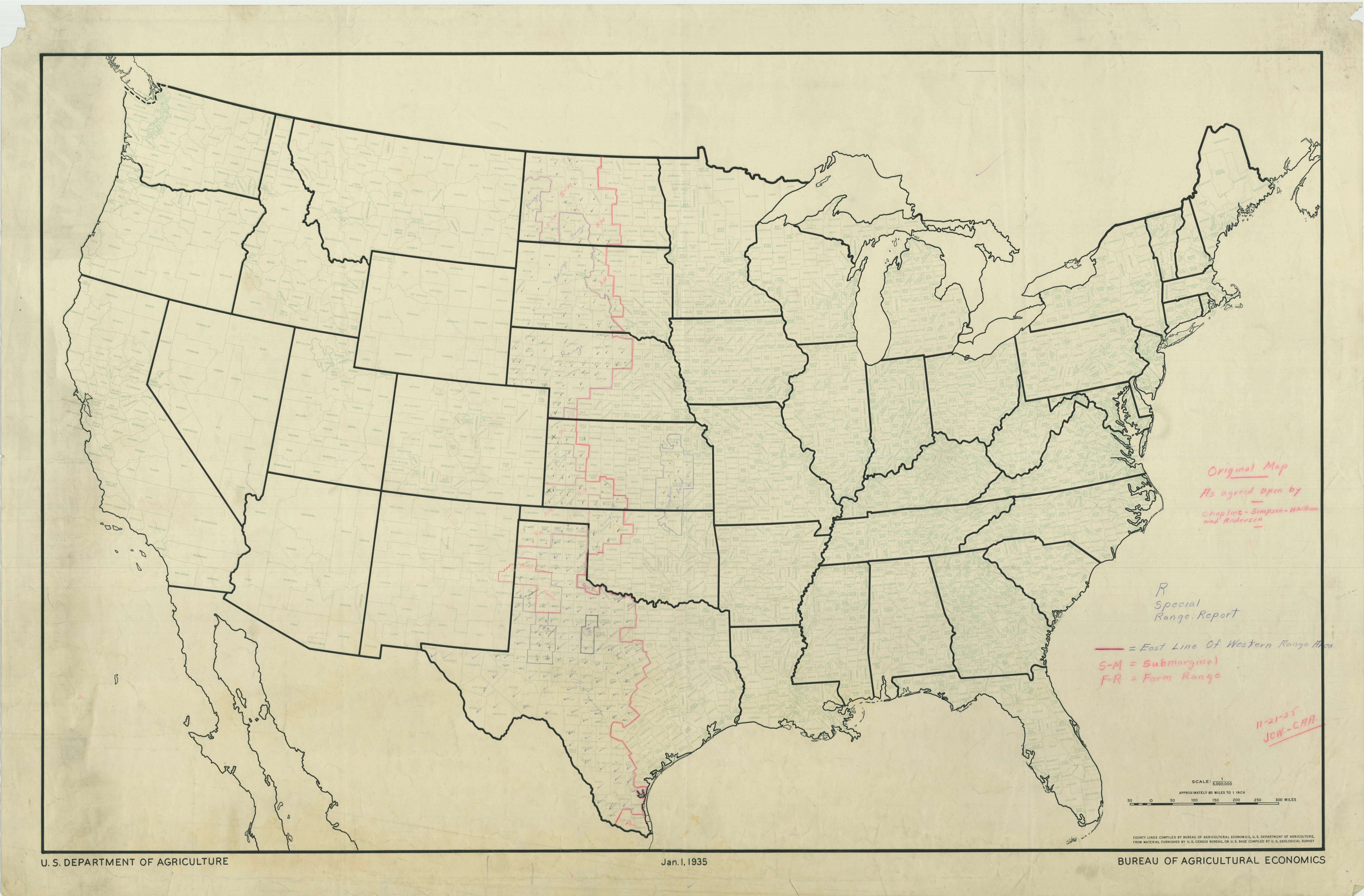
County Map of the United States
1934 - 1935
Add to Favorites:
Add all page(s) of this document to activity:

This County Map of the United States was prepared in support of the Shelterbelt Project established by President Franklin Roosevelt with an executive order on July 11, 1934. Shelterbelts are generally rows of trees that slow surface winds which dry the soil and crops. It was hoped that the increased use of shelterbelts would improve the climate and agricultural conditions on the Plains following the Dust Bowl.
This primary source comes from the Records of the Forest Service.
National Archives Identifier: 84786402
Full Citation: County Map of the United States; 1934 - 1935; Maps from the Plains Shelterbelt Project, 1934 - 1935; Records of the Forest Service, Record Group 95; National Archives at College Park, College Park, MD. [Online Version, https://www.docsteach.org/documents/document/county-map-of-the-united-states, April 26, 2024]Rights: Public Domain, Free of Known Copyright Restrictions. Learn more on our privacy and legal page.


