Map of the Battlefields of Harper's Ferry and Sharpsburg
1862
Add to Favorites:
Add all page(s) of this document to activity:
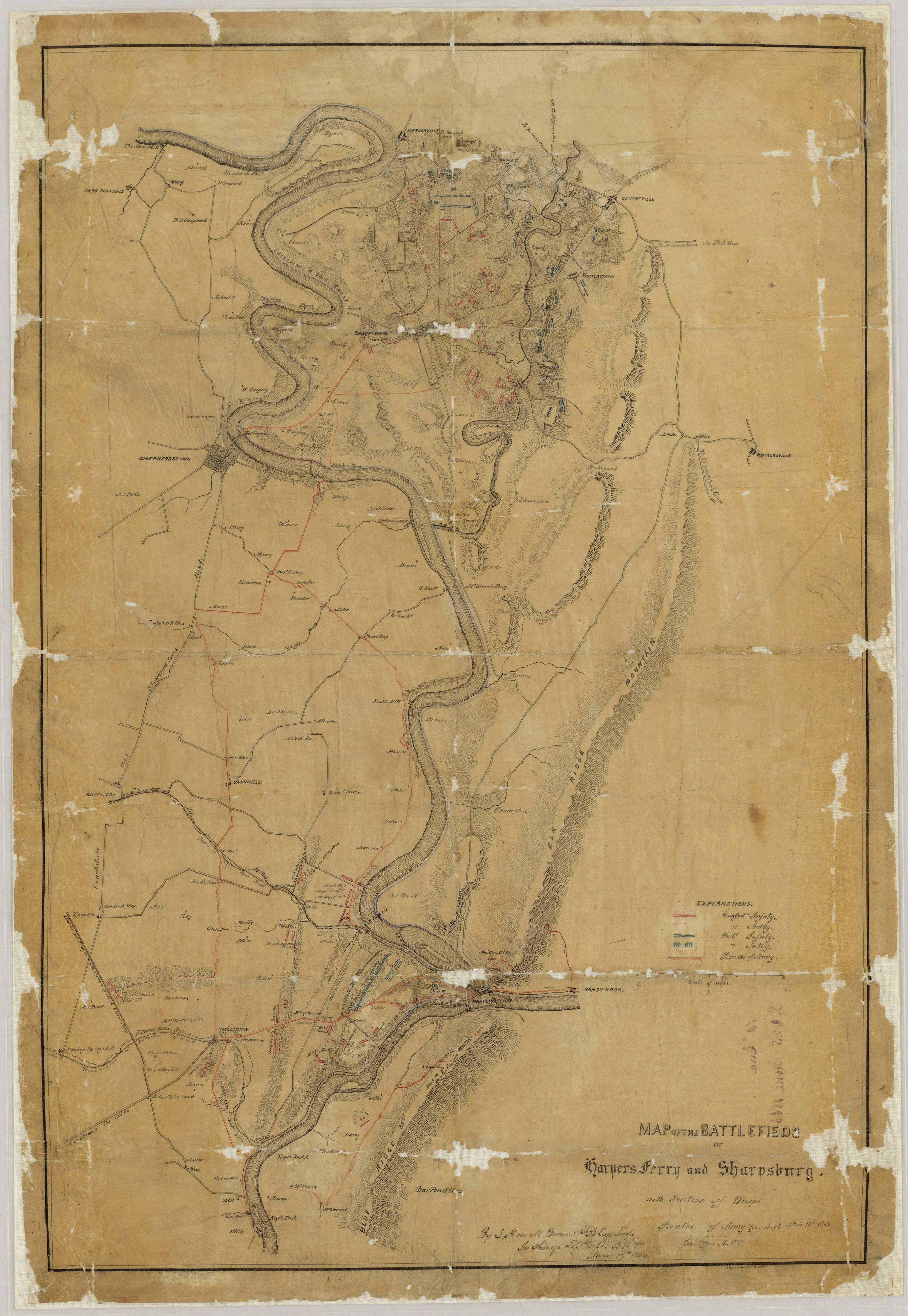
This Confederate map shows the topography, rivers, roads, troop positions, fortifications, and residents in the area around Harper's Ferry and Sharpsburg in West Virginia and Maryland. It was drawn by S. Howell Brown.
This is one of several maps created by the the Confederate States of America that were acquired by the U.S. War Department by capture or surrender during the Civil War, or by donation or purchase after the War.
This is one of several maps created by the the Confederate States of America that were acquired by the U.S. War Department by capture or surrender during the Civil War, or by donation or purchase after the War.
This primary source comes from the War Department Collection of Confederate Records.
National Archives Identifier: 70652970
Full Citation: Map MD-1; Map of the Battlefields of Harper's Ferry and Sharpsburg; 1862; Maryland; Confederate Maps,1861-1876; War Department Collection of Confederate Records, Record Group 109; National Archives at College Park, College Park,MD. [Online Version, https://www.docsteach.org/documents/document/map-harpers-ferry-sharpsburg, April 26, 2024]Rights: Public Domain, Free of Known Copyright Restrictions. Learn more on our privacy and legal page.
